Landslide

Landslides are the downslope movement of rock, soil, or both under the influence of gravity. Landslides occur when gravity exceeds the strength of earth materials that compose the slope.

Often landslides are triggered from a combination of activities including:

Intense rainfall: Soil and rock material on slopes may have high moisture levels, increasing pore-water pressure, which destabilizes the slope and causes slides. Subsequently, surface-water erosion may also cause landslides.

Earthquakes: Ground shaking during earthquakes can cause landslides in many different topographic and geologic settings.

Water-level change: Rapid lowering of groundwater against a slope can trigger landslides, especially along dams, coastlines, reservoirs, and rivers. The pore pressure in soil or rock material may not be able to adjust to a sudden drawdown of water causing slope instability.

Human activities: Many destabilizing activities may trigger landslides. These include vegetation removal, surface and underground mining, excavation of toe slopes, loading on a slope, and leakage from pipes.

Geology: Easily weathered rock types and soils, especially on steep slopes, combined with the triggers listed above are susceptible to landslides.

Landslide is a general term for a wide variety of down slope movements of earth materials that result in the perceptible downward and outward movement of soil, rock, and vegetation under the influence of gravity. In areas where a landslide is prone to happen, the event itself usually must be triggered by some other phenomena such as an earthquake or heavy rainfall. Slope failures are major natural hazards throughout the world. A slope failure is classified based on how it moves and the type of material being moved.

There are four identified types of major slope failures:

  • Slide: A slide is the downward displacement of material along one or more failure surfaces. The material can be soil, rock, etc., and may be broken into a number of pieces or remain a single, intact mass.
  • Flow: A flow is similar to a slide in the fact that downward displace of materials occur. However, the distinguishing characteristic is the high water content involved in a flow. The combination of loose soils, rocks, organic matter, air, and water form a mass with the appearance of a viscous fluid.
  • Lateral Spred: A lateral spread refers to the displacement of gently sloping ground as a result of pore pressure build-up or liquefaction in a shallow, underlying layer of material. The movement rates are typically very slow but can occur spontaneously.
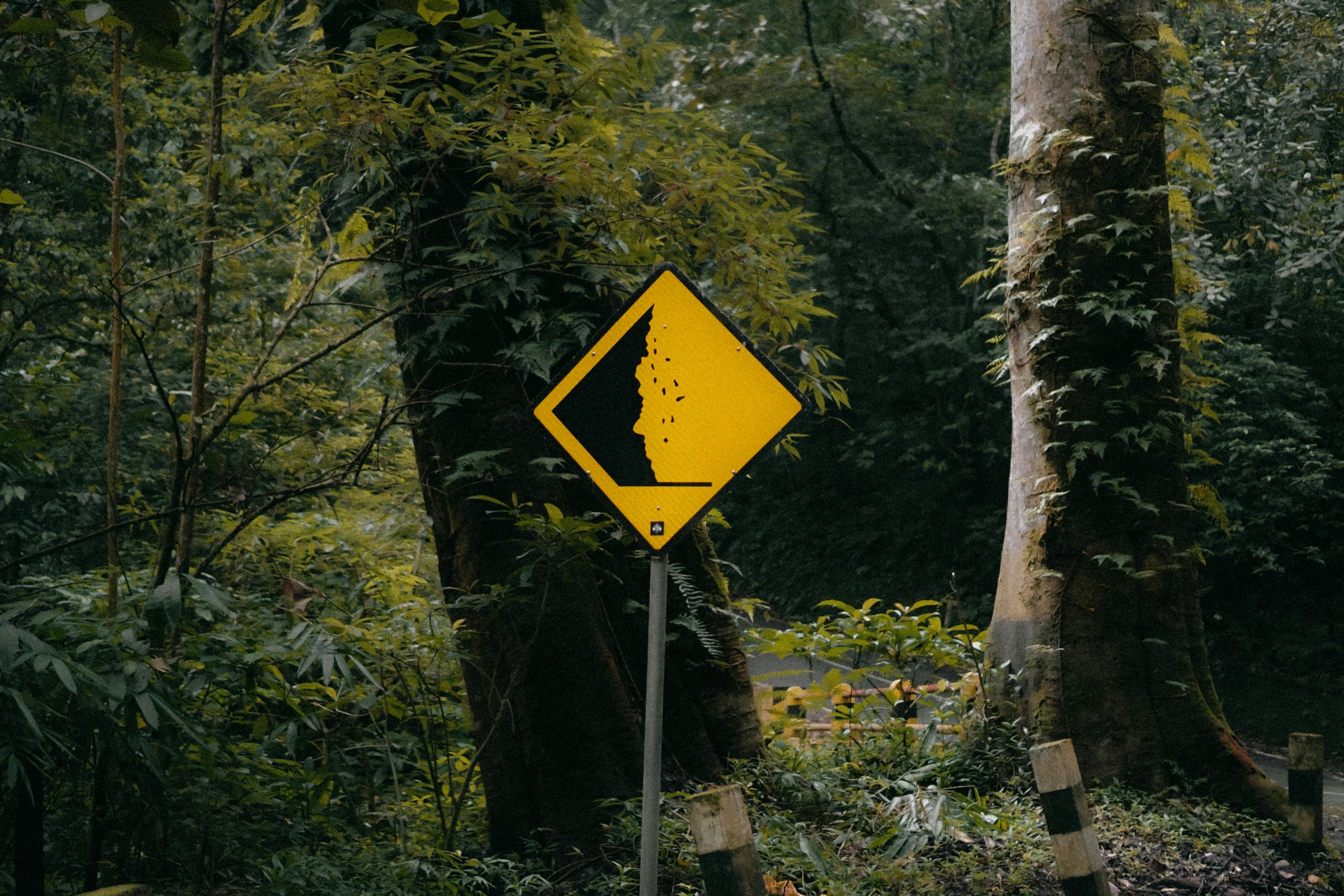
  • Falls: A fall occurs when masses of roc or other material detach and descend down a steep slope or cliff. Falls usually result from an earthquake or common erosion and gravity. The movement rate of a fall is extremely rapid and damage can be critical.

The following map displays landslide locations in the BRADD region from the Kentucky Geological Survey. KGS determined possible landslide locations through local reports, LiDAR-derived digital elevation models, and aerial photos. A complete data breakdown can be found here.

Please note that the landslides shown on the map do not have the same confidence ranking. Confidence ranking indicates how likely it is that the landslide occurred, and it can range from 1, possible landslide to 8, definite landslide. 

How to use the map: 

  1. Select your county to just see its landslide locations.
  2. Hover your mouse  over the dots to find more information about the landslide location – such as geologic formation, confidence level, etc. 
  3. Hover your mouse over the map to zoom in and out and search for a location. 

Since 1991, KGS has recorded 43 possible landslides in the BRADD region. Please note that the map in the previous section includes all landslides within the KGS database, and therefore it shows 3 more events that occurred before 1991. 

  • Allen County:  0 events/30 years = 0 landslide events per year or 0% chance of a landslide event happening annually.
  • Barren County: 3 events/30 years = .1 landslide events per  year or 10% chance of a landslide event happening annually. 
  • Butler County: 18 events/30 years = .6 landslide events per year or 60% chance of a landslide event happening annually
  • Edmonson County: 5 events/30 years =.17 landslide events per year or 17% chance of a landslide event happening annually.
  • Hart County: 6 events/30 years = .2 landslide events per year or 20% chance of a landslide event happening annually.
  • Logan County: 2 events/30 years = .06 landslide events per year or 6% chance of a landslide event happening annually. 
  • Metcalfe County: 2 events/30 years = .06 landslide events per year or 6% chance of a landslide event happening annually. 
  • Monroe County: 3 events/30 years = .1 landslide events per year or 10% chance of a landslide event happening annually. 
  • Simpson County: 0 events/30 years = 0 landslide events per year or 0% chance of a landslide event happening annually. 
  • Warren County: 5 events/30 years = .17 landslide events per year or 17% chance of a landslide event happening annually. 

During Kentucky’s 2018 Hazard Mitigation Plan update, Kentucky Geological Survey (KGS) developed a landslide susceptibility map for the state in order to show which areas have greater landslide risk due to slope and geology. Using the KGS data, BRADD staff created a landslide susceptibility dashboard for our 10-counties. Click on the button below to access the BRADD Landslide Dashboard.

Overall, the BRADD HMP ranks the probability of a landslide occurrence as low to medium because of past events, climate change, and landslide susceptibility. This was determined using the classification definitions outlined by FEMA (click here for more information).

Map Data Source: https://gpm.nasa.gov/landslides/projects.html#susceptibility

There is little warning time prior to the beginning of landslide. As such, landslides have the following potential impacts:

Built Environment
Human-made structures are directly affected by landslides. Any structures such as buildings, roads, bridges, street lighting, and power lines can be completely destroyed if in the direct life of the landslide.

Any roads or other transportation systems that are in the path of a landslide will be directly affected. Roads can either be covered by the debris or wiped completely away. Power lines and telecommunication networks would also be directly affected. Along with roads, telephone poles and towers can be damaged and ruined during the event of a landslide.

Natural Environment
A landslide, itself, involves natural materials. The drastic displacement of earth, trees, and debris can cause persistent problems such as continued erosion. Landslides can carry contaminated materials into streams and other water bodies, directly affect wildlife by destroying wildlife habitats such as wooded areas, streams, and ponds. This can affect the ecosystem and all living things within it.
People
The vulnerability of a landslide do not affect one section of the population more than another. Anyone living in an area at high risk of a landslide will be affected. Landslides can occur spontaneously and randomly.

Economy
Economic costs associated with landslides are due to replacement costs for any property damaged. If transportation and telecommunication networks are damaged or destroyed, it may lead to business closures for a brief time.

There is limited evidence connecting climate change to an increase in landslides; however, it is theorized that more intense rainfall, rain-on-snow events, mean warming, permafrost thaw, glacier retreat, and coastal erosion can lead to rockface instability and decreased slope (IPCC 2022). There has been an increase in landslides in certain areas of the world and it is expected that there will be an increase in frequency in northwestern North America. Studies make these projections based on increasing rainfall intensity and frequency, so it is possible that the BRADD region may see minor impacts from these in the form of slumps and low-grade slope failure. Kentucky’s landslides mostly occur in Eastern Kentucky, so the BRADD region should not be significantly impacted.

Potential impacts include:
  • Infrastructure damage
  • Ecosystem damage
  • Loss of life
  • Economic loss

Overall, the BRADD region has a low to moderate vulnerability to landslide events. For a break down by county, please use the accordion below.

Since 1991, KGS has recorded 0 landslides in Allen County.

Because of these factors, Allen County experiences low vulnerability to landslide events. Because Scottsville reflects Allen County’s history of landslides, it also experiences a low vulnerability.
Since 1991, KGS has recorded 3 landslides in Barren County. This averages to .1 landslide events per year.

Because of these factors, Barren County experiences low vulnerability to landslide events. The risk for Barren County's cities is analyzed below.
  • The City of Cave City has had no historic occurrence of landslide events. Its vulnerability is low.
  • The City of Glasgow has had one historic occurrence of landslide events. Its vulnerability is medium.
  • The City of Park City has had no historic occurrences of landslide events. Its vulnerability is low.
Since 1991, KGS has recorded 18 landslides in Butler County. This averages to .6 landslide events per year.

Because of these factors, Butler County experiences high vulnerability to landslide events. The risk for Butler County's cities is analyzed below.
  • The City of Morgantown has had three historic occurrences of landslide events. Its vulnerability is medium.
  • The City of Rochester has had no historic occurrences of landslide events. Its vulnerability is low.
  • The City of Woodbury has had no historic occurrences of landslide events. Its vulnerability is low.
Since 1991, KGS has recorded 5 landslides in Edmonson County. This averages to .17 landslide events per year.

Because of these factors, Edmonson County experiences low vulnerability to landslide events. The risk for Edmonson County's city is analyzed below.
  • The City of Brownsville has had no historic occurrences of landslide events. Its vulnerability is low.
Since 1991, KGS has recorded 6 landslides in Hart County. This averages to .2 landslide events per year.

Because of these factors, Hart County experiences moderate vulnerability to landslide events. The risk for Hart County's cities is analyzed below.
  • The City of Bonnieville has had no historic occurrences of landslide events. Its vulnerability is low.
  • The City of Horse Cave has had no historic occurrences of landslide events. Its vulnerability is low.
  • The City of Munfordville has had no historic occurrences of landslide events. Its vulnerability is low.
Since 1991, KGS has recorded 2 landslides in Logan County. This averages to .06 landslide events per year.

Because of these factors, Logan County experiences low vulnerability to landslide events. The risk for Logan County's cities is analyzed below.
  • The City of Adairville has had no historic occurrences of landslide events. Its vulnerability is low.
  • The City of Auburn has had no historic occurrences of landslide events. Its vulnerability is low.
  • The City of Lewisburg has had one historic occurrence of landslide events. Its vulnerability is low.
  • The City of Russellville has had no historic occurrences of landslide events. Its vulnerability is low.
Since 1991, KGS has recorded 3 landslides in Metcalfe County. This averages to .1 landslide events per year.

Because of these factors, Metcalfe County experiences low vulnerability to landslide events. The risk for Metcalfe County's city is analyzed below.
  • The City of Edmonton has had one historic occurrences of landslide events. Its vulnerability is low.
Since 1991, KGS has recorded 3 landslides in Monroe County. This averages to .1 landslide events per year.

Because of these factors, Monroe County experiences low vulnerability to landslide events. The risk for Monroe County's cities is analyzed below.
  • The City of Fountain Run has had no historic occurrences of landslide events. Its vulnerability is low.
  • The City of Gamaliel has had two historic occurrence of landslide events. Its vulnerability is medium.
  • The City of Tompkinsville has had no historic occurrences of landslide events. Its vulnerability is low.
Since 1991, KGS has recorded 0 landslides in Simpson County. This averages to 0 landslide events per year.

Because of these factors, Simpson County experiences low vulnerability to landslide events. The risk for Simpson County's city is analyzed below.
  • The City of Franklin has had no historic occurrences of landslide events. Its vulnerability is low.
Since 1991, KGS has recorded 5 landslides in Warren County. This averages to .17 landslide events per year.

Because of these factors, Warren County experiences low vulnerability to landslide events. The risk for Warren County's cities is analyzed below.
  • The City of Bowling Green has had no historic occurrences of landslide events. Its vulnerability is low.
  • The City of Plum Springs has had no historic occurrences of landslide events. Its vulnerability is low.
  • The City of Oakland has had no historic occurrences of landslide events. Its vulnerability is low.
  • The City of Smiths Grove has had two historic occurrences of landslide events. Its vulnerability is low.
  • The City of Woodburn has had no historic occurrences of landslide events. Its vulnerability is low.